Airborne LiDAR
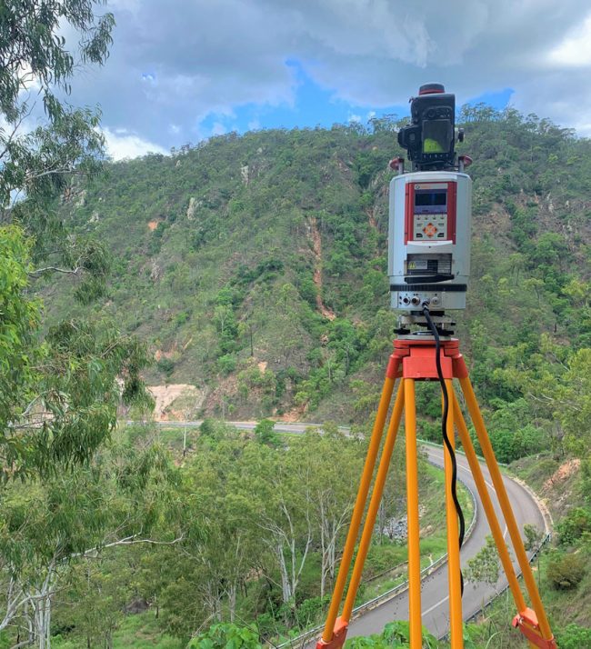
LiDAR (Light Detection and Ranging) uses pulsed laser light to measure distances to an object, based on laser return times and waveform analysis to the LiDAR sensor. The measurements are used to create a point cloud of the object. LiDAR is typically used in airborne, mobile and terrestrial mapping applications.
Drone LiDAR
Drone LiDAR utilises Unmanned Aerial Vehicles (UAV/Drones) to acquire LiDAR data in hard-to-reach areas of 10 to 1,000 hectares in a cost-effective manner. This technology has only been available in recent years due to the significant reduction in size and weight of LiDAR sensors. This type of data capture is ideal for areas where photogrammetry is not viable due to vegetation cover and can be a cost-effective option when compared to traditional survey methods. Typical applications are Topography Mapping, Mine Mapping, Volume Surveys, Hydraulic Modelling and Linear Infrastructure Design.


