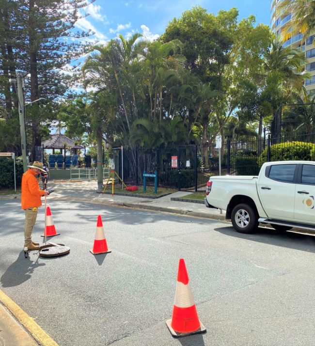
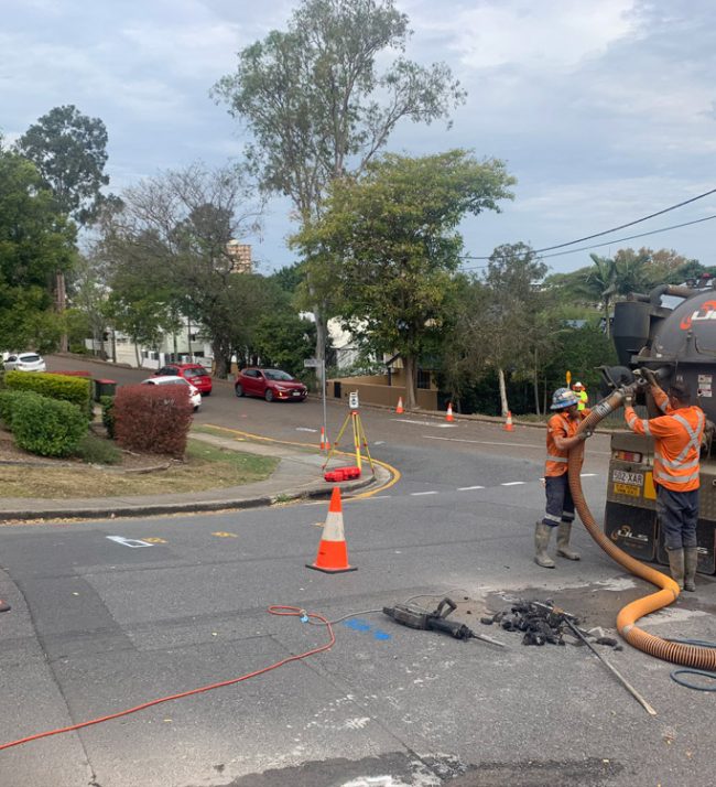
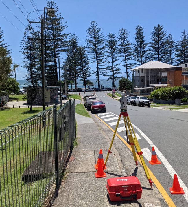
During the design or construction phase of a project, it can be critical to identify the location and condition of underground services.
Locating underground services helps eliminate design conflicts, takes the guesswork out of service records and provides certainty in the design phase, which in turn eliminates delays during construction. Underground Service Location also helps eliminate the risk during construction when working/excavating near underground services.

Location of Underground Services can be undertaken by a range of methods including vacuum excavation, electromagnetic detection, ground penetrating radar, 3D Scanning and surveying. Each method has a differing level of accuracy and an Australian Standard AS5488 applies for the location and identification of underground services. The standards apply quality levels as per below;