Hervey Range Rd Reconstruction
Client: TMR & ARUP
Year: 2020
Location: Townsville, QLD
Team: John Philipp, James McDonnell
Services
Category
Aerial Surveys · Airborne LiDAR · Engineering · Terrestrial LiDAR
Sectors
– Government
– Infrastructure
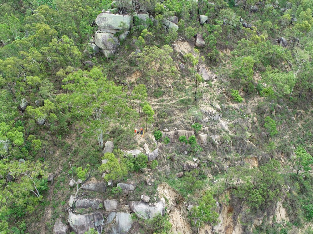
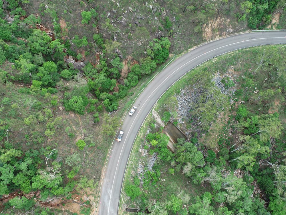
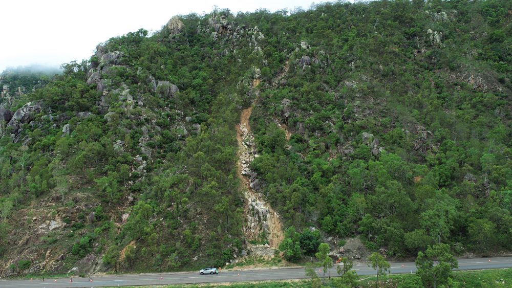
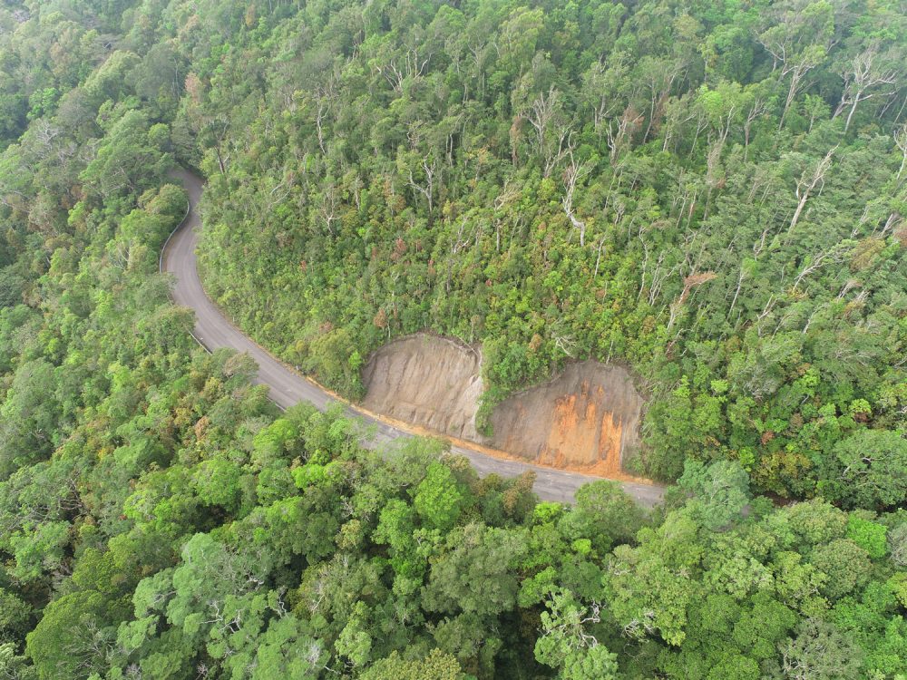
Following a heavy rain event in February 2019, a number of significant land slips occurred on the range. These land slips closed the busy road while emergency clean-up operations were undertaken. Orion were engaged as Principal Surveyors as part of the QLD Disaster Recovery Program following the devastating floods.
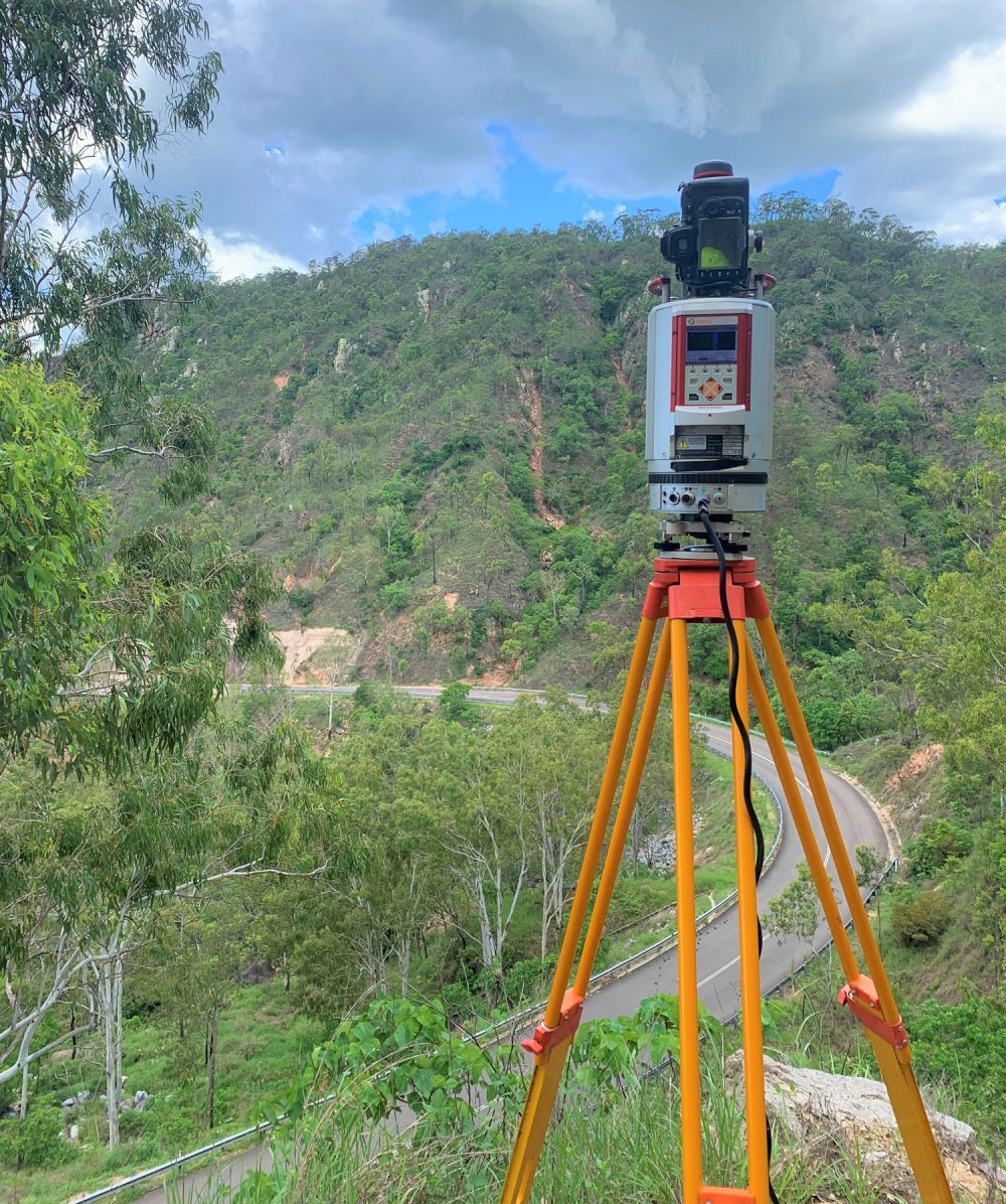
The Orion survey team was engaged to undertake a combination of survey techniques to provide a comprehensive dataset to the project design team in accordance with the TMR survey specifications. The team utilised Airborne LiDAR, Terrestrial LiDAR, Drone inspections and traditional survey technics to capture data over very steep and difficult access terrain.

