South East Queensland Aerial Imagery Project
Client: Aerometrex Limited
Year: 2020
Location: South East Queensland
Team: David Hedgcock, John Philipp
Services
Category
Sectors
– Government
The project was part of the Queensland Government’s Spatial Imagery Subscription Program (SISP) which is managed by the Department of Natural Resources. The program captures high-resolution aerial imagery over the state, for GIS database use by Local Councils and State Government Departments. The aerial imagery was captured by Aerometrex.
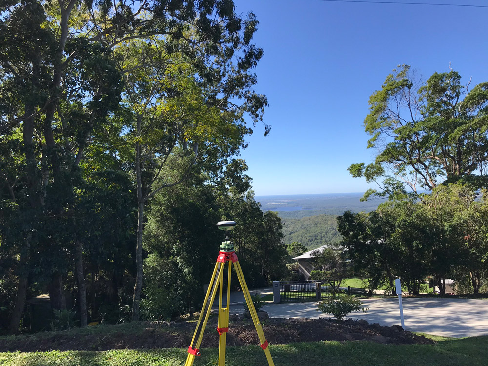
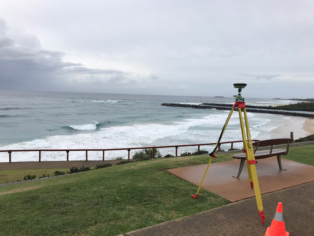
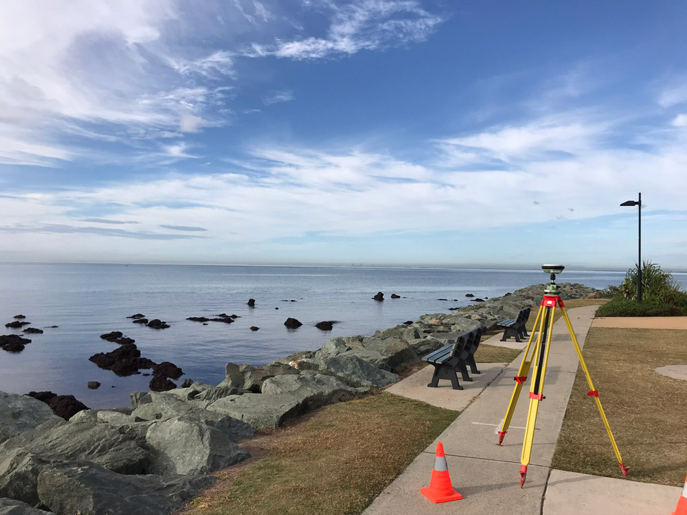
The Orion Survey team was engaged by Aermotrex to provide accurate survey control (GCPs) to aid the processing of the raw imagery and meet the accuracy requirements of the end client. The control network traversed 10 Local Governments taking in the different countryside our beautiful region has to offer.


